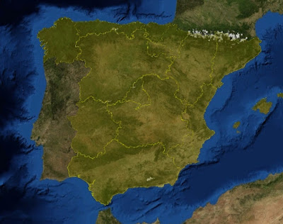
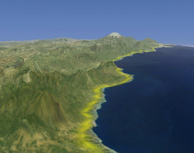
SurfacePolygon takes a set of Positions and creates a BufferedImage that is rendered as a normal tile. That has a good performance and the result image can beautifully overlap the terrain

The above polygons are configured to create images with 256x256 size. The results seems good, but all depends on how much good you want.


6 comments:
Hello Antonio Santiago,
You are doing a very good job & your balloon project is very interesting and nice.
I am final year M.C.A student. I just started my work with WorldWind Java SDK.I created a new project in NetBeans IDE and added WorldWindowGLCanvas as swing control its working fine, but it shows one error public network cannot reachable.I can't able to download picture as while running exe.
I posted one query in worldwindcentral forum you also answered to my question my first little aim is to find a place in the globe while typed in a textbox and clicking on Go button it goes to that particular place.I started my work before 3 days.I want to learn more about this WorldWind Java SDK for that I need your help and guiding to reach my little aim
iampalaniyandi@gmail.com this is my mail id.
Hi Palani,
the best way to learn WWJ SDK is through its source code and the examples included in it.
For concret question (like "How to find the place in Globe") both WWJ (http://forum.worldwindcentral.com/forumdisplay.php?f=39) and NetBeans forums (http://www.nabble.com/Netbeans---Open-API-f2609.html) are the best places to ask questions to more experienced people than me ;).
Thanks for your guiding...
Hi,
great job Antonio,
is it an open source project?
can we access the code of it?
Would you be willing to share the code for reading the shapefiles? I am having issues with them!
thanks
Hi Jason,
I used GeoTools to read the shapefile content.
Now there is too a new kid on the block called GeoToolkit (a fork of GeoTools) that you can use to read shapefiles too.
Post a Comment