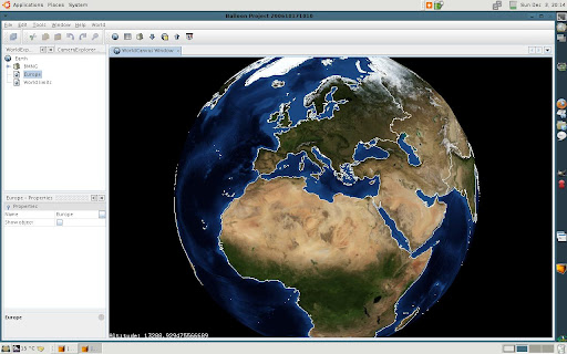
Also, the rendering process has been improved modifying all renderable objects to use display lists.
The Balloon project blog is a place to talk about my personal virtual globe project so called "Balloon Project". Initially it was born using my own developed 3D API allowing to load, render and animate GIS information, georeference images, import lat/lon shapefiles and load layers from any WMS server. The future project will be based (I hope it) in WWJ. WWJ is still in an early alpha stage, because it, I try to contribute with some features I learn or implement working in my own 3D API.

No comments:
Post a Comment