Thanks to
GeoTools The Balloon Projee can read shapefiles in an easyly way. From now there is very basic support for this type of files, reading only lat/lon values and rendering it as line loops.
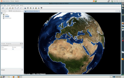
Also, the rendering process has been improved modifying all renderable objects to use display lists.

No comments:
Post a Comment