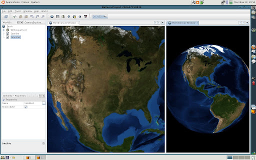
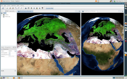
Also, it is possible to select a WMS server, choose a layer and load images tiles from it. The WMS import is not finished because it must be dynamic, it is, reload tiles when altitude changes.
To improve the net connection I was developed a basic cache system to store images and load it localy.